Aire and Calder Canal
Location - Aire and Calder Canal, Welbeck Lane, off Wakefield Eastern Relief Road - would recommend Standley Ferry Pub for people out of the area - (what3words location)
Distance (around) - About 1 mile
Terrain - Smooth, flat, tarmac.
Accessibility at a glance:
Access: ⭐⭐
Dog friendliness: ⭐⭐⭐
Facilities: ⭐
Enjoyment: ⭐⭐⭐⭐
More in depth:
Parking and entrance:
Where we park is limited and not designated
The pub offers an alternative parking option with more space.
Paths and distance:
Smooth tarmac along the main canal path; generally even with minimal bumps.
Mostly flat; a gentle incline on both sides of one bridge, manageable for mobility scooters and power chairs.
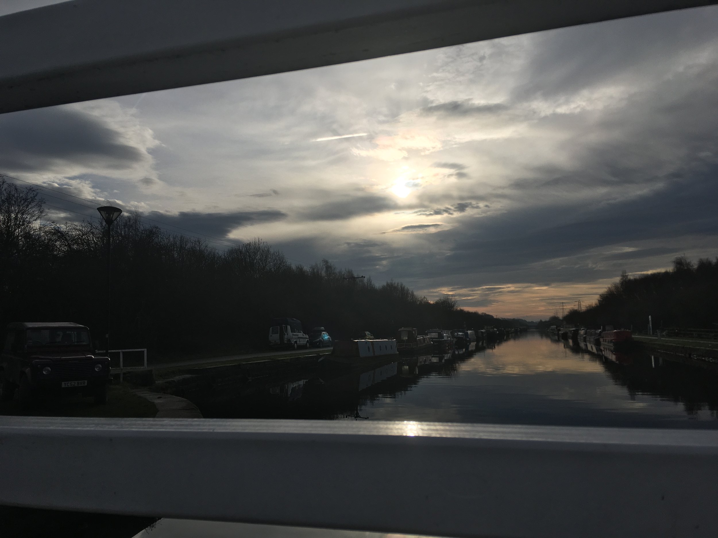
Straight path with long sight lines, ideal for guide dogs, assistance dogs, and anyone who benefits from predictable terrain.
Good winter option as the tarmac reduces mud and sludge.
Facilities
Popular dog-walking area; surface can be hard under paw for sensitive dogs, but visibility makes it easy to manage lead length.
Several benches along the route.
The Stanley Ferry pub (Hungry Horse chain) is reachable via the route. Dogs not allowed indoors but outdoor seating available.
This walk is one of the simpler, less-developed routes we explore, following what used to be an old canal road. Despite its rustic surroundings, the path itself is impressively accessible. The smooth tarmac has very few bumps, making it a comfortable route.
One of the standout features of this walk is its straight, open layout. You can see far ahead, which is helpful for pacing, spotting fellow walkers, or letting dogs explore safely. We often pick this route in winter because the tarmac keeps shoes and wheels clean, avoiding the mud. The stretch is popular with local dog walkers, so friendly greetings are almost guaranteed. Betty enjoys the long lead here, as we can see approaching walkers well in advance, though she’s not always a fan of the hard surface underfoot. Also be cautious of cars as it is an entry for some houses at the bottom of the path.
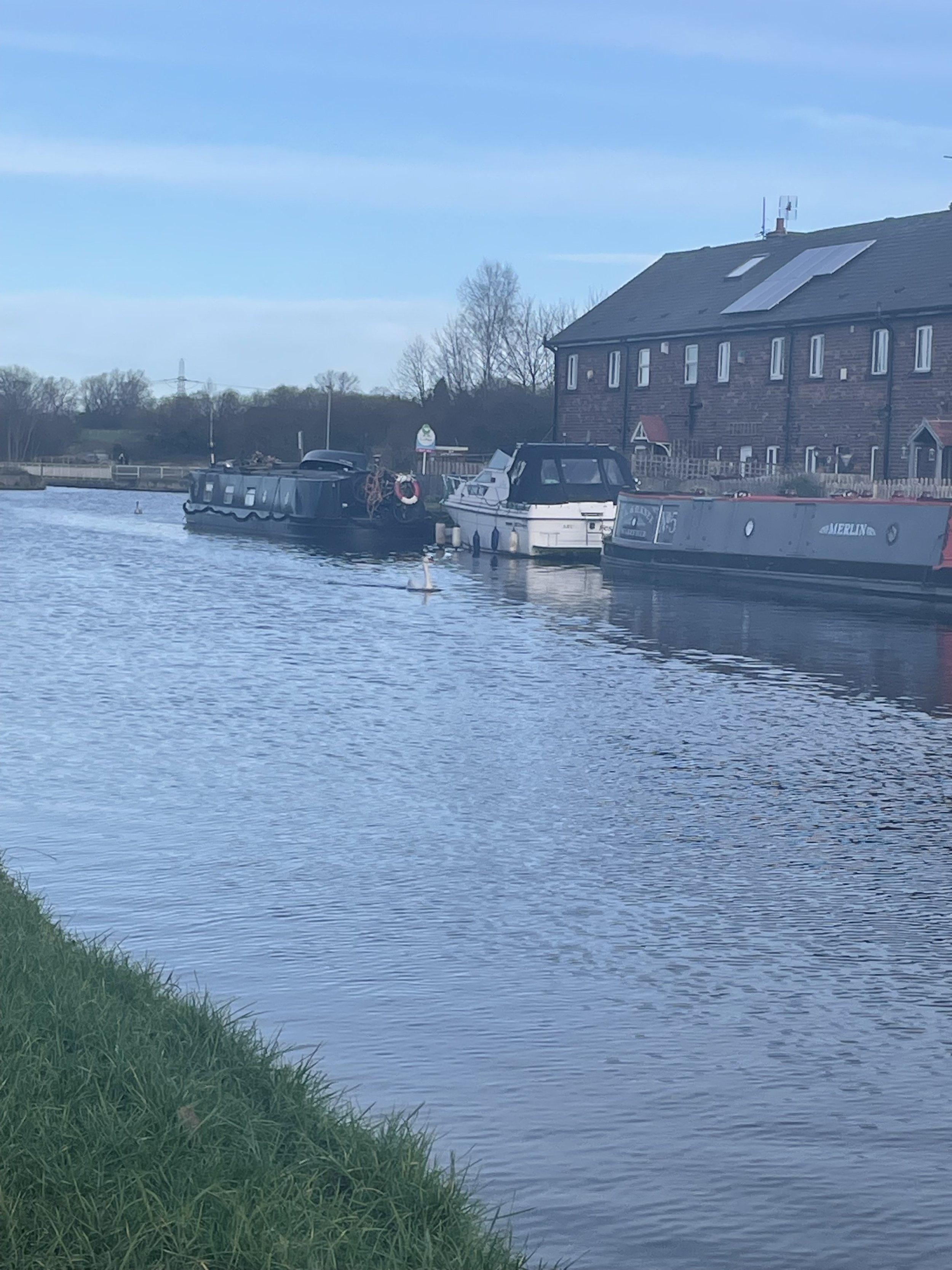
The path runs alongside the water, where moored boats and barges create a lovely backdrop. It’s easy to imagine life aboard one: cosy, slow and wonderfully free. Swans often glide gracefully by, and occasionally we spot paddleboarders making the most of the calm water. One barge has even been converted into a tiny coffee-and-cake stop, though we only discovered it after passing this time, definitely on our list!
About two-thirds of the way, you’ll reach a small bridge. It has a slight incline on either side, but my scooter handled it without issue. Betty was not impressed by the gentle wobble, but after a little hesitation, she trotted across safely.
Beyond the bridge, the path continues straight to the Stanley Ferry pub, part of the Hungry Horse chain. It’s a convenient stop with outdoor seating, perfect for dog owners. Dogs aren’t allowed inside, but the outdoor area is generally sufficient. The pub also works well as an alternative starting point, thanks to its larger parking area.
This walk isn’t circular, so the easiest way back is to retrace your steps back along the canal. You can exit via the pub car park, but this puts you on the main road, which we usually prefer to avoid. The canal path itself is calmer and more pleasant.
As with many canal routes, this path connects to a much wider network, over 30 miles in total. We’ve only explored a small section so far, but there’s plenty more to discover. For details on branching paths and accessibility information, the Canal and River Trust provides helpful resources to plan your next adventure
Tip - pay attention for cyclists.